
Importance of Plot Mapping in Agriculture
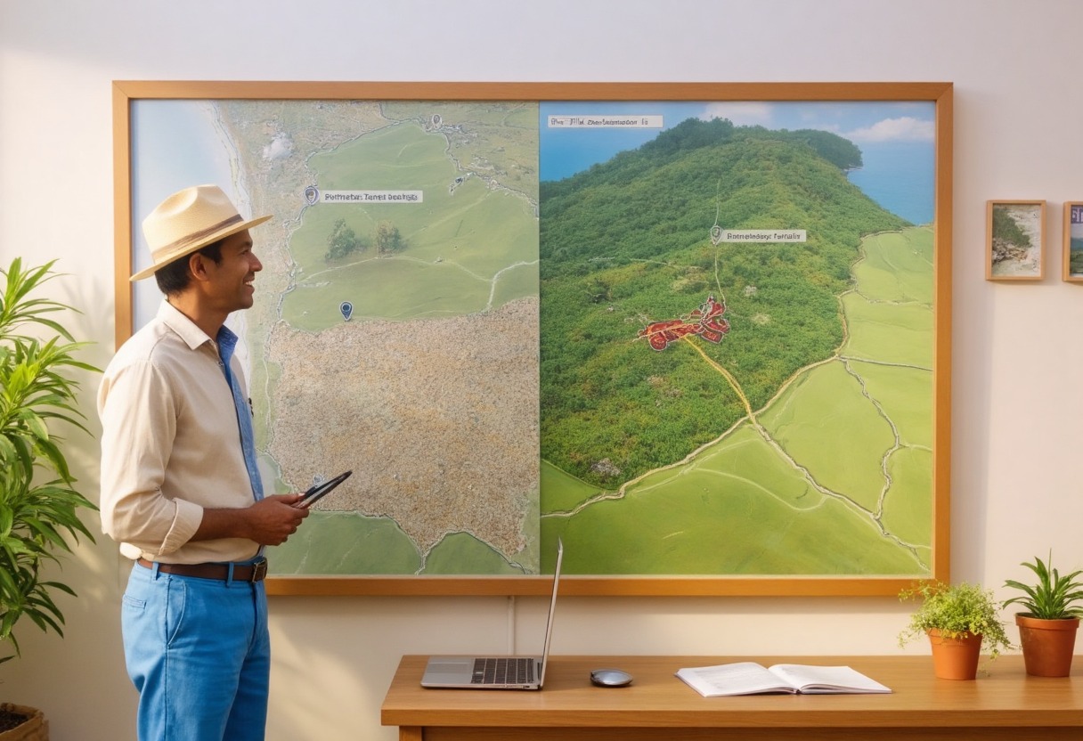
Agriculture is undergoing a structural shift toward data-led operations, compliance, and transparent sourcing. Plot mapping, combining precise perimeter mapping with geo-tagging creates the foundational digital twin of farmland that anchors every agronomic task, audit, and decision. When done rigorously, it drives operational efficiency, reduces risk, and turns field data into verifiable outcomes.
What is Plot Mapping?
Perimeter Mapping: Digitally capturing exact field boundaries, area, and shape; identifying exclusions such as canals, trees, homesteads, hazards, and access points.
Geo-Tagging: Assigning precise coordinates to plots and in-plot features so every activity, asset, and record can be tied to an exact location.
Together, these establish a geospatial “source of truth” that powers monitoring, analytics, and traceability across seasons and stakeholders.
Why Plot Mapping Matters
Accurate, Durable Land Records
Eliminates ambiguity from paper maps or verbal references with verifiable boundaries, areas, and exclusions. Reduces disputes and improves confidence for growers, FPOs, agribusinesses, lenders, and insurers with durable, time-stamped records.
Farm-Level Traceability
Links each activity (planting, sprays, irrigation, harvest) to a location ID, enabling lot-level provenance and recall-ready documentation. Supports export requirements, private standards, and retailer programs that demand farm-to-shelf location-based evidence.
Optimized Resource Planning
Converts true area and sub-area zones into accurate input budgets for seed, fertilizer, crop protection, and labor. Prevents over-application by mapping mixed-crop plots into distinct management zones with separate plans and logs.
Data-Driven Agronomy
Enables remote crop monitoring, zone-level scouting, and season-over-season benchmarking at plot and sub-plot levels. Integrates soil, topography, weather, and imagery layers to guide variable-rate strategies and targeted interventions.
Finance and Insurance Readiness
Provides verified landholding and crop coverage evidence for loan underwriting, input credit, and index/area-yield insurance. Accelerates claims assessment via mapped impact zones for flood, drought, storm, or pest events.
Compliance and Certifications
Produces auditable geospatial evidence for organic, sustainability, and deforestation-free requirements. Standardizes reporting with spatially referenced logs, making external audits faster and lower risk.
Operational Risk Management
Speeds incident response by delineating affected blocks and focusing interventions, logistics, and relief precisely where needed. Improves safety and application integrity by marking buffer zones, water bodies, and sensitive areas.
How Trace AgTech Makes Plot Mapping Smarter
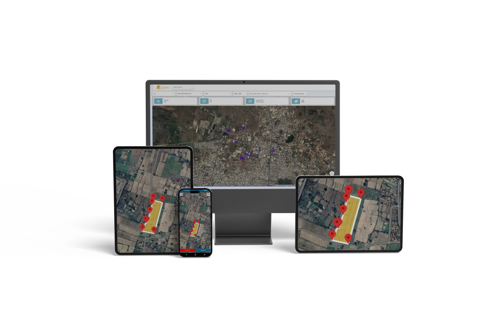
High-Fidelity Perimeter Mapping: Accurate, repeatable boundary capture with support for exclusions and multi-part fields, ensuring consistent area calculations across years.
Robust Geo-Tagging: Unique location IDs for plots, blocks, and features (pumps, storage, hedgerows), enabling granular, location-linked records and workflows.
Plot-Wise and Crop-Wise Mapping: Mixed-cropping support within a single plot, with each crop area mapped, scheduled, and recorded independently for inputs, activities, and yields.
Integrated Activity Pipelines: Mapping is natively linked to crop calendars, spray logs, input inventories, and harvest lots—creating one operational truth for teams and audits.
Supply Chain Traceability: Generates location-backed lots and movement records so buyers and regulators can verify origin quickly and confidently.
Enterprise Interoperability: Export/import of standard geospatial formats, role-based access for field staff and auditors, and APIs for data exchange with upstream/downstream systems.
Advanced Use Cases and Value Levers
Zonal management and VRA: Turn NDVI/NDRE, soil EC, or elevation-derived zones into seeding and fertilizer prescriptions to lift margin per hectare.
Buffer and exclusion governance: Maintain spray buffers near dwellings/waterways; enforce do-not-enter zones for machines and contractors.
Seasonal benchmarking: Compare crop performance by zone, identify persistent underperformers, and prioritize drainage, lime, or varietal changes.
Carbon and sustainability projects: Avoid overlap in claimed areas, maintain plot permanence, and streamline MRV with spatially anchored evidence.
Audit acceleration: Share scoped, read-only plot layers and activity logs with auditors for faster, lower-friction certifications.
Implementation Blueprint
Boundary capture: Start with drive/walk capture or high-resolution basemaps; validate with ground truth and add exclusions.
Sub-plot zoning: Delineate crop sections and management zones for mixed plots.
Data layering: Attach soil tests, elevation models, historical imagery, and sensor feeds to plots.
Workflow linkage: Tie maps to crop calendars, scouting, inputs, and harvest lots; enforce location validation at data entry.
Measurable Outcomes to Target
5–12% input cost reduction from zone-accurate planning and fewer overlaps.
6–13% yield lift over time from targeted seeding, nutrition, and timely stress interventions.
10–30% faster audit and compliance cycles due to geospatially indexed records.
Faster claims decisions and reduced dispute rates via mapped evidence.
Higher credit access and better loan terms through verified land and crop data.
The Bigger Picture: A Sustainable, Verifiable Future
Plot mapping is the operational backbone of precision agriculture and transparent supply chains. It replaces guesswork with geospatial proof, ensuring that every hectare is managed to its potential and every claim is backed by evidence. As food safety, climate accountability, and responsible sourcing intensify, geospatially anchored records will separate resilient, financeable, and market-preferred producers from the pack.
With Trace AgTech’s perimeter mapping and geo-tagging, agribusinesses and farmer networks can achieve and maintain multi-standard compliance at lower cost, build consumer and buyer trust with verifiable origin data, improve productivity and resource efficiency across diverse crops and geographies, and expand financing and insurance access with ready-to-audit field intelligence.
Conclusion
Plot mapping in agriculture is more than a map, it’s the digital operating system for modern farms; by uniting precise boundaries, geo‑tagged actions, and integrated crop workflows, Trace AgTech turns field activity into trusted, actionable data so that what gets mapped gets managed and what gets managed gets measured, verified, and improved; to experience smarter farm management powered by accurate perimeter mapping and geo‑tagging, schedule a demo now.

Any comments?